La Paz and the Altiplano
La Paz wrapped in its basin beneath Illimani, Titicaca at 3,812 m and the living Aymara culture of El Alto: Bolivia's vertical gateway.
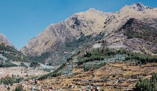
La Paz occupies an improbable site: a basin carved into the Altiplano, where the city descends in terraces from 4,100 metres in El Alto to 3,200 metres in the southern neighbourhood of Calacoto. This elevation drop of nearly 1,000 metres over 10 kilometres explains everything: the microclimates, the urban design clinging to the slopes, and the heat that rises as you descend the Prado. Above it all, Illimani peaks at 6,438 metres and is visible from almost every vantage point. To get your bearings, we recommend heading up to Killi Killi or taking the red line of the cable car: in 17 minutes, you move from the city centre to El Alto and the geography of the basin becomes clear.
El Alto, the sister city perched on the edge of the plateau, now has more inhabitants than La Paz itself. It is here, on the Altiplano at 4,050 metres, that the Feria del 16 de Julio takes place, a giant market on Thursdays and Sundays that covers dozens of city blocks. Everything is sold here, from engine parts to medicinal herbs from the yatiris' market. It is also the heart of contemporary Aymara culture, visible in the architecture of Freddy Mamani's cholets—colourful buildings with a neo-Andean aesthetic that can be observed in the streets of Ciudad Satélite neighbourhood.
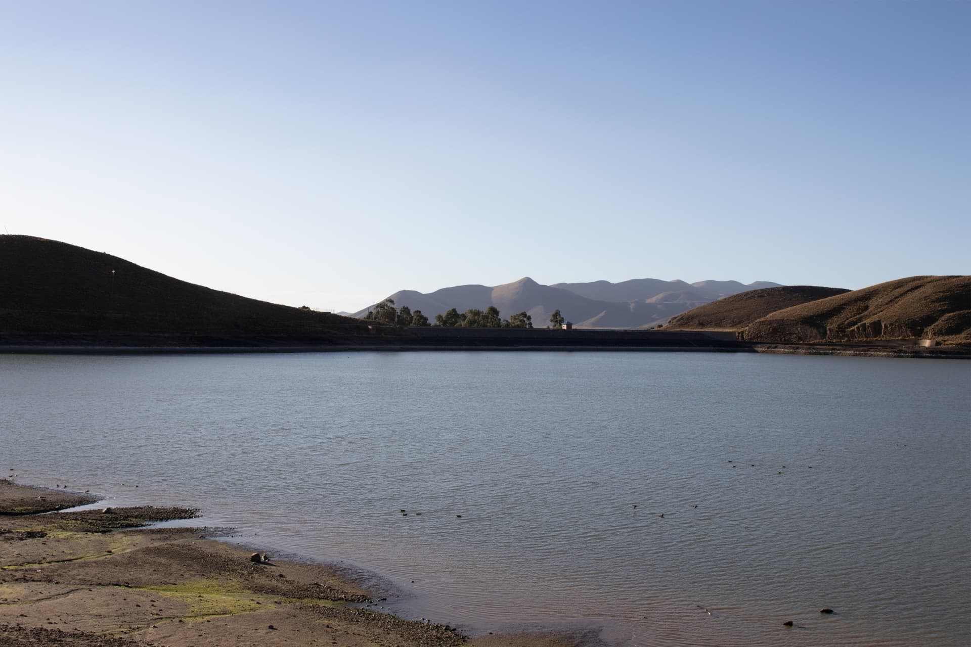
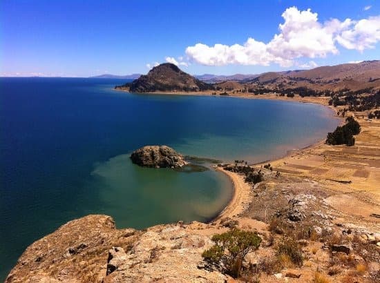
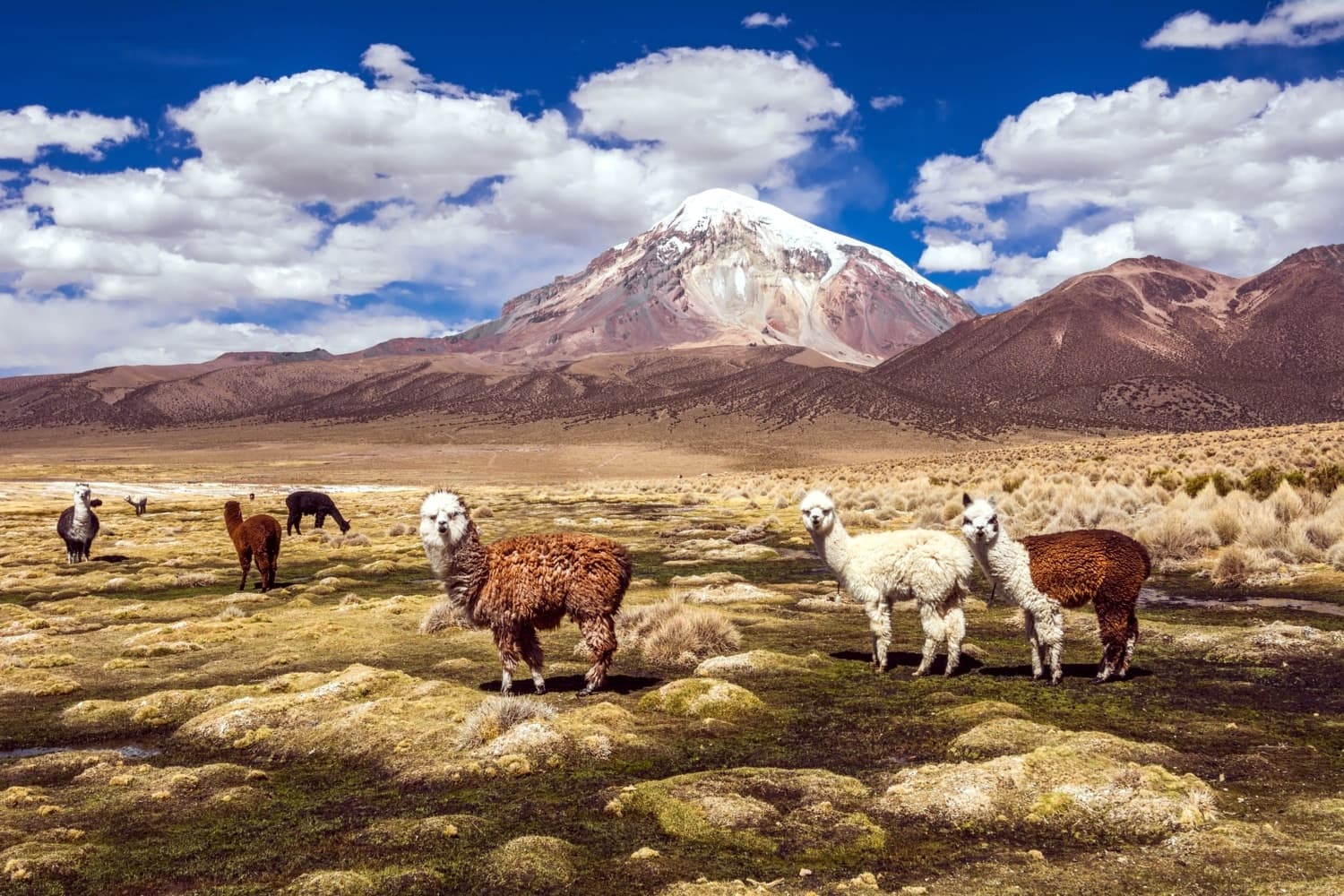
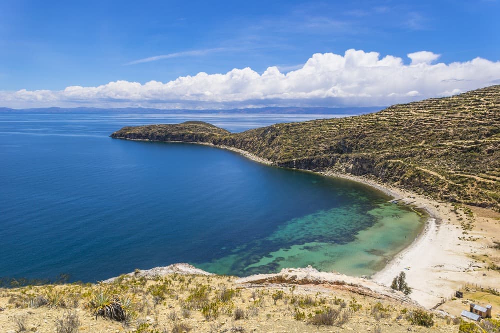
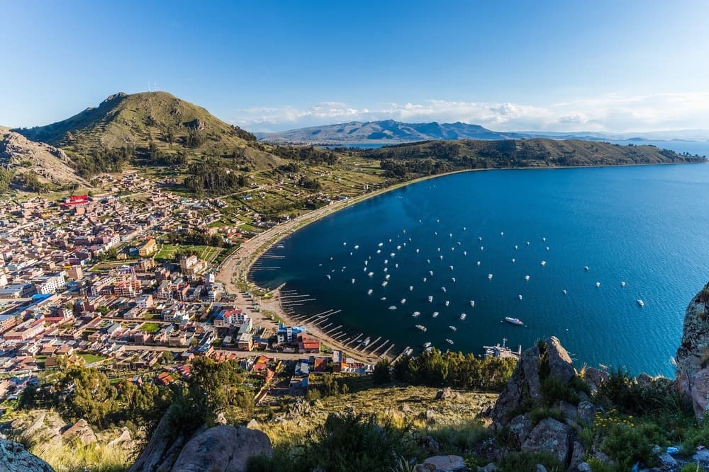
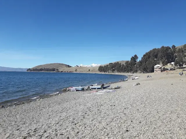
The Altiplano surrounding La Paz is a high, dry plateau, swept by wind, covered in paja brava and dotted with herds of llamas and alpacas. To the north, the road stretches for 3 hours 30 minutes to Lake Titicaca, the world's highest navigable lake at 3,812 metres. Copacabana, on the Bolivian shore, is home to the Basilica of the Virgen Morena, a major pilgrimage site since the 16th century. Boats depart from its port to Isla del Sol, a vehicle-free island where you walk between Incan terraces and Quechua hamlets, and to Isla de la Luna, smaller and less visited.
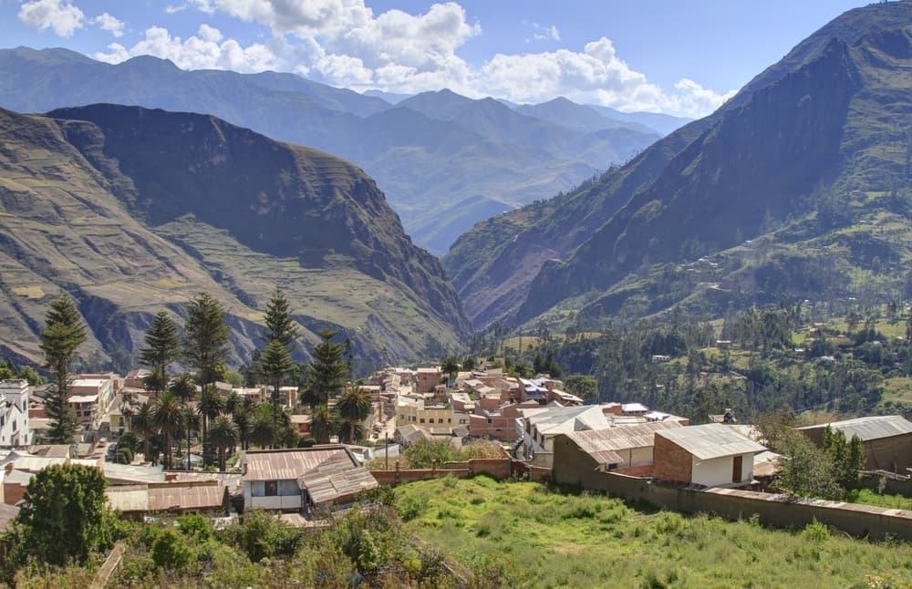
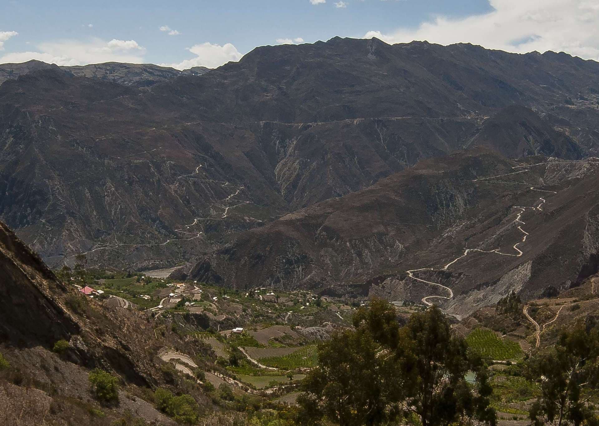
East of La Paz, the Royal Cordillera forms a wall of peaks over 6,000 metres: Huayna Potosí (6,088 m), Condoriri (5,648 m), Illimani. It is a playground for hikers and mountaineers, accessible in 2 hours by road from the city. In the opposite direction, descending the Yungas road towards Coroico, you pass in 3 hours from the dry Altiplano to cloud forest at 1,700 metres: a dramatic shift in vegetation and climate, useful for breaking the altitude.
As for cuisine, paceño cooking is savoured unpretentiously in the markets. At Mercado Rodríguez, you have api con pastel at breakfast, a thick hot drink of purple maize served with a cheese-filled fritter. At midday, fricasé is a pork and white maize soup with chuño, potatoes dehydrated by frost on the high plateau. Saltañas, meat pastries, are eaten standing up around 11 a.m. in the streets of Sopocachi. In the markets, the diversity of potatoes (over 200 varieties in Bolivia) and ají peppers is tangible.
For travellers, La Paz is almost always the country's gateway: the El Alto airport at 4,061 metres demands acclimatisation. We recommend two to three days on the ground before any high-altitude excursion or trekking, walking slowly, drinking coca tea, and avoiding alcohol and heavy meals for the first 48 hours. This acclimatisation works well: visits to museums (the National Museum of Ethnography, the Coca Museum on Linares Street), wandering through the witches' market, descent to the Valle de la Luna at 3,200 metres.
Must-see
Mi Teleférico Cable Car. The world's most extensive urban cable car network, ten lines connecting La Paz to El Alto. The red line climbs above the general cemetery and gives a 17-minute vertical reading of the city.
Isla del Sol on Lake Titicaca. Vehicle-free Aymara island at 3,812 metres, accessible in 1 hour 30 minutes by boat from Copacabana. North-south trail of 8 km between the Incan ruins of Chincana and the village of Yumani, to be walked at a leisurely pace.
Feria del 16 de Julio Market. El Alto's giant market every Thursday and Sunday. It is where you experience the density of urban Aymara culture, from herbalists to fabric stalls.
Freddy Mamani Cholets. Neo-Andean architecture in El Alto, buildings with polychrome façades inspired by Tiwanakote motifs. A guided tour of Ciudad Satélite neighbourhood allows you to enter a celebration hall on the top floor.
Choro Trek from La Cumbre. 3-day descent on a pre-Columbian path, from the La Cumbre pass at 4,650 metres to the Yungas at 1,200 metres. Over 60 km, you cross all the layers of Andean vegetation.
When to go
The Altiplano has two distinct seasons. The dry season, from May to October, is our recommended period: clear skies, maximum visibility of peaks, rare rainfall. Temperatures in La Paz range between 0°C at night and 17°C during the day, with lows of -5°C in June-July in high areas like El Alto. The sun is intense at this altitude, sunscreen essential. The rainy season runs from December to March, with a peak in January-February: daily afternoon showers, slippery Yungas roads, sometimes rough Lake Titicaca crossings. Temperatures are then milder (4°C to 18°C) but clouds often cover Illimani.
Festivals are worth timing your trip around. The Fiesta del Gran Poder in late May or early June fills La Paz's streets for 20 hours of dancing (morenada, caporales). Alasitas, in late January, is the miniatures festival where you buy miniature objects so they come true during the year. For Isla del Sol and the Choro trek, May to September remains the most reliable window.
Practical advice
We recommend a minimum of 4 days in the region: 2 days in La Paz for acclimatisation and urban exploration (centre, witches' market, cable car, El Alto), 2 days on Lake Titicaca with a night in Copacabana or on Isla del Sol. With 6 to 7 days, add the Royal Cordillera (Laguna Glaciar trek, Pequeño Alpamayo ascent) or a descent towards Coroico in the Yungas to break the altitude. The international El Alto airport receives flights from Lima, Bogotá, Madrid, Santiago. It is the logical pivot point to the rest of the country.
The region combines naturally with the Salar d'Uyuni (1-hour flight or 10-hour overnight bus), the perfect mineral extension after human-scale Altiplano, then with South Lipez and the Chilean border for those continuing to San Pedro de Atacama. Sucre and Potosí link well before or after, by plane. The Amazon via Rurrenabaque requires a flight from La Paz (45 minutes) and offers the most radical climate contrast. Hotel comfort in La Paz covers all ranges; on Isla del Sol, accommodation remains simple (family guesthouses, variable hot water). The region suits contemplative travellers, those drawn to living culture and hikers; for families with young children, altitude requires leisurely days and we adapt our pace accordingly.