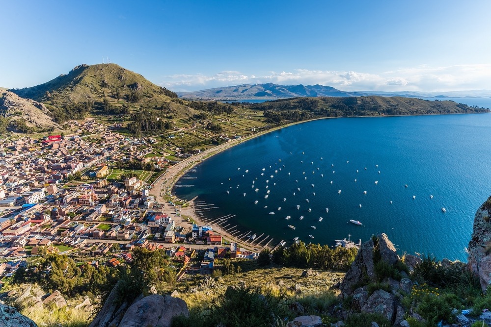
Sucre and Potosí
Two Andean cities at opposite ends: Sucre the temperate colonial town at 2,810 m, and Potosí the mining city at 4,067 m, where Cerro Rico silver once financed an empire.
Sucre and Potosí form a contrasting pair at the heart of the Bolivian Andes, roughly 700 kilometres south of La Paz. Our local agency often recommends spending several days here after the Altiplano, as the change in atmosphere is striking: you move from windswept high plateaus to the temperate valleys of Chuquisaca department, where Sucre settles at 2,810 metres in a sheltered basin. Founded in 1538 as La Plata, the city preserves a cohesive colonial architecture of whitewashed façades and red-tiled roofs, inscribed on Unesco's World Heritage list since 1991. It is also Bolivia's constitutional capital and home to the Supreme Court, which explains its university-town atmosphere—calm and measured, a far cry from the bustle of La Paz.
Life in Sucre revolves around a handful of plazas and markets. The Mercado Central, two blocks from Plaza 25 de Mayo, opens at seven in the morning with fresh fruit juices and api con pastel, a hot purple-corn drink served with a cheese-filled pastry. The courtyards of the San Felipe Neri and La Recoleta convents offer vistas across the city, and the Museo de Arte Indígena ASUR documents weaving by the Jalq'a and Tarabuco communities, whose red and black motifs depict an inverted world inhabited by khurus, fantastical creatures. On Sundays, the Tarabuco market, 65 kilometres and two hours away, gathers Yampara families to exchange potatoes, medicinal herbs, and textiles. This is not a reconstructed tourist market: it is a genuine place of commerce, and we advise arriving before ten o'clock.
Just outside Sucre, the Cal Orck'o site displays a vertical limestone wall covered with over 5,000 footprints from Cretaceous dinosaurs, uncovered by cement-quarrying operations. Further into the Cordillera de los Frailes, hikes of one to three days lead to the Maragua waterfall, the rock paintings of Incamachay, and the geological crater of Maragua, a circular depression spanning eight kilometres and inhabited by Jalq'a communities. The trails still follow sections of pre-Hispanic paved roads, the qhapaq ñan.
Some 165 kilometres to the south-west, the road climbs towards Potosí at 4,067 metres, one of the world's highest inhabited cities. Cerro Rico, the conical mountain that dominates the city, yielded between 1545 and the late eighteenth century a major share of the silver that financed the Spanish crown. The city boasted 160,000 inhabitants in 1650, as many as London at the same time. What remains is a dense baroque centre: the Casa Nacional de la Moneda, a former mint converted into a museum, preserves the wooden machines used to laminate silver blanks. The churches of San Lorenzo de Carangas and the Compañía de Jesús testify to the blending of Andean and European elements in their façade sculptures.
Cerro Rico remains worked today by around 15,000 miners organised into cooperatives. Gallery tours, guided by former miners, last two to three hours and require crouching through tunnels at 4,200 metres altitude, in a dusty and warm atmosphere. We always warn our travellers: this is a gruelling experience, sometimes poorly received, but it gives a concrete understanding of colonial history and present-day working conditions. For those preferring to stay on the surface, the thermal baths of Tarapaya, 25 kilometres from Potosí, offer a gentler interlude in a circular lagoon of volcanic origin.
Gastronomically, the region boasts a valley cuisine more varied than that of the Altiplano. In Sucre, you taste chorizo chuquisaqueño, mondongo (pork braised in red chilli), and morning salteñas, juicy pastries filled with meat broth. The vineyards of Camargo and the Cinti valley, further south, produce singani, a muscat-brandy, which forms the base of chuflay, the local cocktail.
To discover
Sucre's colonial centre. A stroll between Plaza 25 de Mayo, the La Recoleta convent, and Mercado Central, in a city at 2,810 metres where the temperate climate allows you to walk in shirtsleeves year-round.
Sunday market in Tarabuco. Weekly gathering of Yampara communities 65 kilometres from Sucre, with striped ponchos, exchanges of farm produce, and pinkillo flute music played in ensemble.
Active mines of Cerro Rico. A two- to three-hour descent into Potosí's galleries at 4,200 metres, led by former miners, to understand the underbelly of colonial silver.
Dinosaur footprints at Cal Orck'o. A 1.5-kilometre limestone wall tilted to vertical by tectonics, covered in over 5,000 Cretaceous footprints, ten minutes from Sucre's centre.
Hike to the Maragua crater. A two-day trek through the Cordillera de los Frailes, along ancient paved Inca roads, to a circular depression inhabited by weaving Jalq'a families.
When to go
Sucre enjoys a temperate Andean valley climate, with an average daytime temperature of 22°C and cool nights (8 to 10°C in austral winter). We recommend the dry season, May to October, for stable skies and passable trails in the Cordillera de los Frailes. July is the coldest month, with mornings sometimes reaching 2°C, but afternoons remain sunny around 18°C. The rainy season extends from December to March: downpours fall mainly in late afternoon, secondary roads to Tarabuco or Maragua can become slippery, and Cal Orck'o visits close during heavy rain.
Potosí, at 4,067 metres, is harsher: expect nights as low as -5°C between June and August, and a dry wind that intensifies the cold sensation. Mine visits operate year-round, but we avoid January and February for road transfers from Uyuni, which sometimes close. To catch patron-saint festivals and diabolic dances, the period around carnival (February-March) remains the most vibrant, provided you accept the weather constraints.
Practical advice
We recommend a minimum of four days for this region: two nights in Sucre for the city, Cal Orck'o, and possibly Tarabuco on Sunday, then one to two nights in Potosí for the mine, Casa de la Moneda, and transition southward. Sucre has an airport (Alcantarí) with daily connections to La Paz and Santa Cruz, roughly 45 minutes by plane, avoiding night driving. Potosí has no operational airport; access is by road from Sucre (3 hours, 165 km) or from Uyuni (3.5 to 4 hours).
The smoothest itinerary chains Sucre and Potosí between La Paz and Altiplano to the north and the Salar d'Uyuni to the south, then continues to South Lipez towards the Chilean border. For travellers who favour culture over extreme landscapes, Sucre can also combine with Santa Cruz and Chiquitania via a domestic flight. Hotel comfort in Sucre is good, with converted colonial mansions; in Potosí, the offer is more modest and altitude requires prior acclimatisation. This region suits contemplative travellers, lovers of history and textiles, and families with teenagers, provided mine visits are adapted to individual sensitivities.