South Lipez and the Chilean Border
Three days of 4x4 travel through colorful lagoons, geysers at 4,850 m and high-altitude deserts, leading to the Chilean crossing at Hito Cajón facing Licancabur.
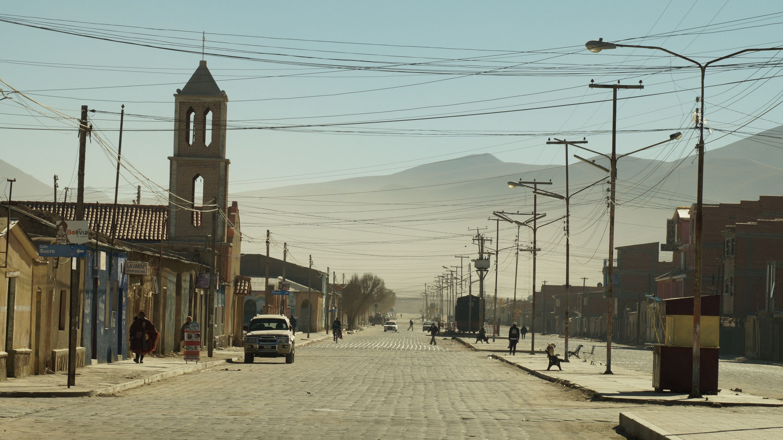
South Lipez begins where the Salar de Uyuni ends, at the exit from Colchani or San Juan, and stretches nearly 400 kilometers to the border post of Hito Cajón, at 4,500 meters, which marks the entrance to Chile and the descent to San Pedro de Atacama. This section of Potosí department is one of the least populated areas in Bolivie: a handful of hamlets of llama herders like San Pablo de Lípez, Quetena Chico or Villa Mar, and the small town of San Cristóbal, rebuilt around the silver and zinc mine that dominates the local economy.
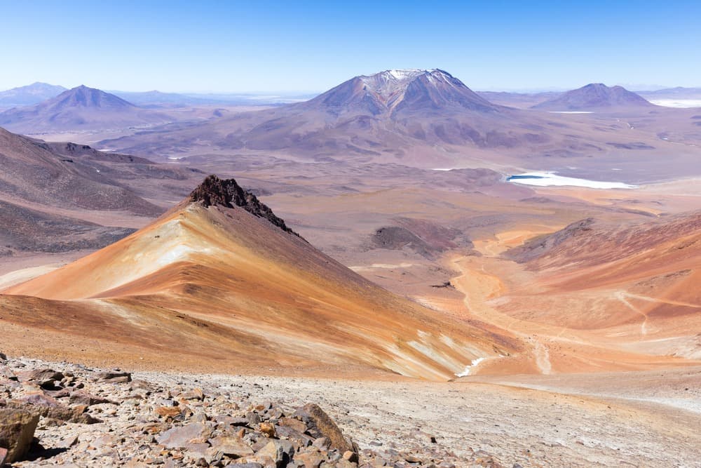
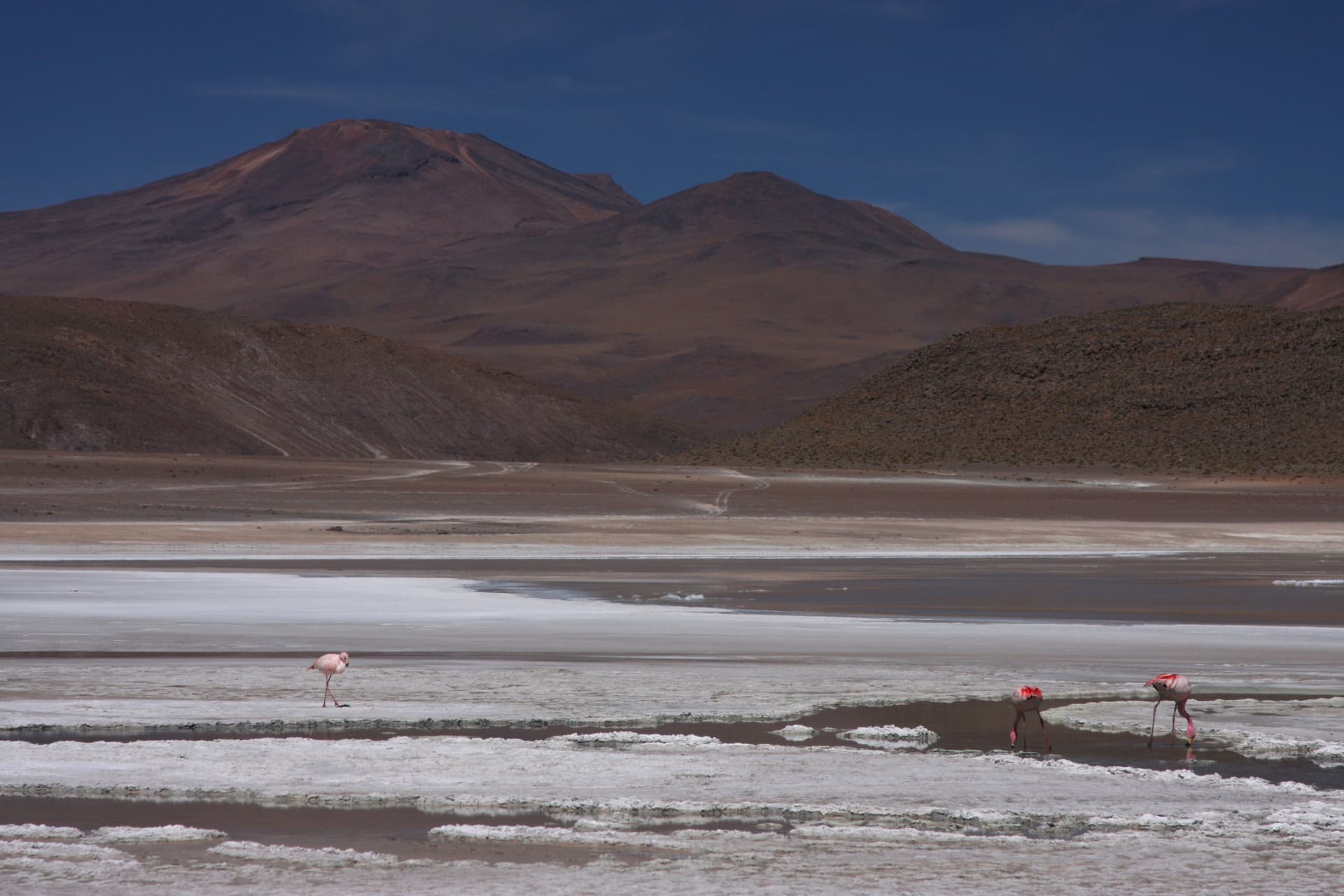
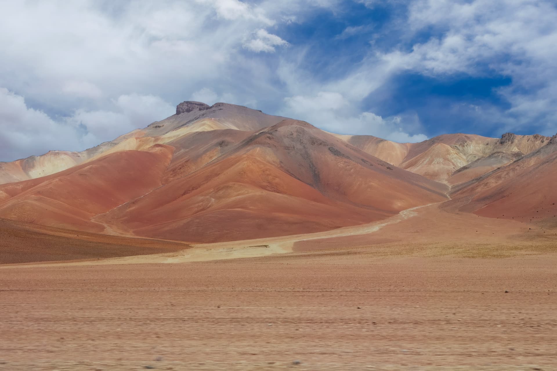
The altitude remains constantly above 4,000 meters and climbs to 4,850 at the Sol de Mañana pass, where mud geysers and sulfurous fumaroles shoot up at dawn. The landscape is mineral, dry, swept by constant afternoon winds. The Eduardo Avaroa National Reserve, created in 1973 over 714,000 hectares, protects the main lagoons in the area: the Colorada, reddened by sediments and plankton that feed three species of flamingos (James's, Andean, Chilean), the Verde at the foot of the Licancabur volcano (5,916 m) whose color shifts to turquoise as the wind stirs the arsenic and copper, and the Blanca, separated from the Verde by a simple strip of land.
Climate dictates everything. From May to August, nights drop to -20°C, sometimes -25°C in June-July at Laguna Colorada. Days are dry, sunny, around 10 to 15°C. From December to March, rains make certain tracks impassable, particularly around the Árbol de Piedra and the Siloli desert. The crossing is done exclusively by 4x4, in convoy or private vehicle, with driver-guide and overnight stays in basic lodges at Huayllajara, Villa Mar or on the shores of Laguna Colorada. A few more comfortable lodges now exist at Tahua, Mallku Cueva or Ojo de Perdiz, but hot water remains scarce and electricity runs on generators for a few hours each evening.
The inhabitants of Lipez are predominantly Quechua, with an older Aymara presence. Llama herding and artisanal borax extraction from secondary salars (Chalviri, Capina) remain the primary resources, supplemented over the past twenty years by tourism and mining work in San Cristóbal. Local cuisine is simple: quinoa soup, charque of dried llama meat, spicy llajwa. In Quetena Chico, a small museum run by the community traces the wildlife of the reserve, including the vicuña, the Magellanic fox and the viscacha, a long-tailed rodent that can be observed at sunrise on the rocks of the Árbol de Piedra.
Why come here rather than stop at the salar? Because geological density is rare: in two days on the track, you traverse lava flows, active geothermal fields, brackish lagoons inhabited by tens of thousands of flamingos between November and April, and high-altitude deserts comparable to those of neighboring Atacama. The Chilean border is crossed in less than two hours at Hito Cajón, and San Pedro is 45 kilometers downhill. This cross-border logic, which we organize in both Bolivia-Chile and Chile-Bolivia directions, structures a good portion of our South American itineraries.
To Discover
Laguna Colorada at sunrise. Before 8am, James's flamingos feed in the iron-rich water, the wind has died down and the red of the sediments contrasts against the white borax deposits. Plan an overnight stay to make the most of this light.
Sol de Mañana geysers at 4,850 m. Active geothermal field where fumaroles reach 10 meters and mud pools boil at 80°C. Visit at dawn, just before the natural hot springs of Polques where you can bathe at 38°C facing Laguna Chalviri.
Siloli Desert and Árbol de Piedra. Plateau at 4,600 m sculpted by katabatic winds, where a lava rock stands eroded in the shape of a tree. The setting evokes the Chilean altiplano and marks the transition to Atacama landscapes.
Hito Cajón border crossing. Isolated post at 4,480 m facing Licancabur volcano, open in the morning only. The descent of 2,400 meters to San Pedro de Atacama takes an hour, a guaranteed thermal shock after the glacial nights of Lipez.
Villages of llama herders in Quetena. Quetena Chico and Quetena Grande, away from classic circuits, allow you to meet families who still live from llama herding and harvesting yareta, an ancient cushion plant used as fuel.
When to Go
We recommend April-May and September-October for the best balance between passable tracks, clear light and bearable temperatures (10 to 15°C during the day, -5 to -10°C at night). From June to August, the sky is permanently clear and photographic contrasts excellent, but nights drop to -20°C, sometimes -25°C at Laguna Colorada: you need suitable equipment, a sleeping bag rated -15°C minimum, and be prepared to sleep clothed in poorly heated lodges.
From December to March, the rainy season (200 to 300 mm cumulative over the quarter) can cut tracks between Villa Mar and Laguna Colorada, and the Hito Cajón crossing sometimes closes for 24 to 48 hours after a snowfall. It is, however, the period when flamingos are most numerous on the Colorada and when the Salar de Uyuni offers its mirror effect, which justifies for some travelers accepting this logistical risk.
Practical Advice
Plan for three full days by 4x4 from Uyuni to complete the crossing to Hito Cajón, with two nights on site (San Juan or Mallku Cueva, then Laguna Colorada or Ojo de Perdiz). Four days allow you to include the Quetena, the secondary lagoons (Hedionda, Chiarcota, Honda) and to slow down the pace, which we recommend for travelers who do not tolerate altitude well. Prior acclimatization is non-negotiable: minimum three nights in La Paz or Sucre, ideally completed by the Salar de Uyuni (3,650 m) before climbing above 4,500 m.
South Lipez logically combines with the Salar de Uyuni upstream, and with La Paz and Altiplano for entry into Bolivie. Exit via Hito Cajón to San Pedro de Atacama opens an 8 to 10-day cross-border itinerary that we operate in partnership with our English-speaking Chilean team. Comfort remains rustic: shared lodges, outdoor sanitation, occasional hot showers. This region suits contemplative travelers, photographers and lovers of geological landscapes, less so families with young children or those sensitive to altitude sickness.